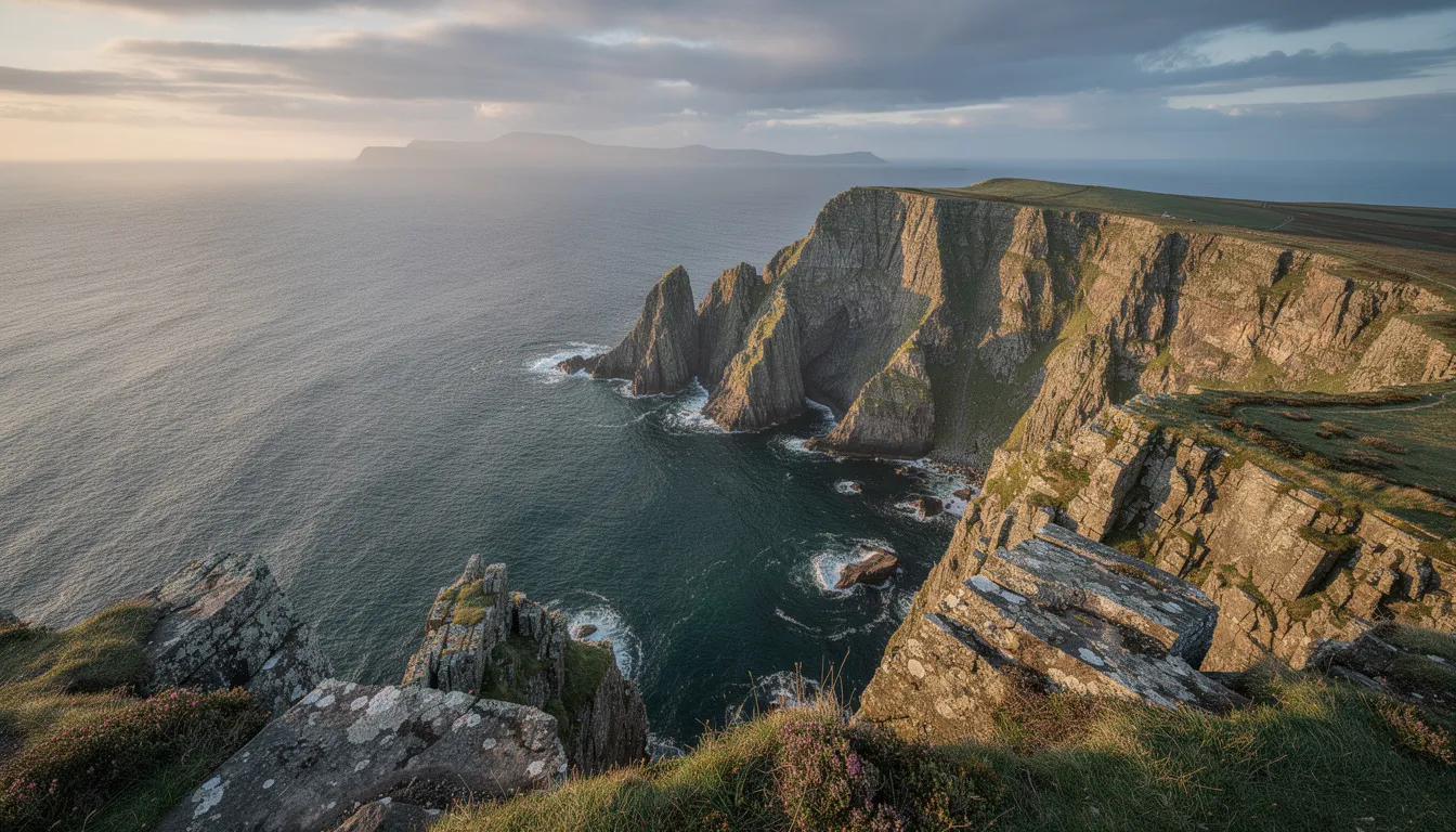
Standing on the cliffs at Torr Head, you’re closer to Scotland than anywhere else in Ireland - around 12 miles (19km) of North Channel water separate this headland from the Scottish Mull of Kintyre, close enough that the Scottish coastline is easily visible on a clear day.
Location
Torr Head sits about 3 miles east of Ballycastle, County Antrim, reached along the narrow, winding Torr Head Scenic Route connecting Ballycastle and Cushendun - genuinely one of the most dramatic drives on the Antrim coast in its own right, not just a means of getting to the headland.
The Signal Station
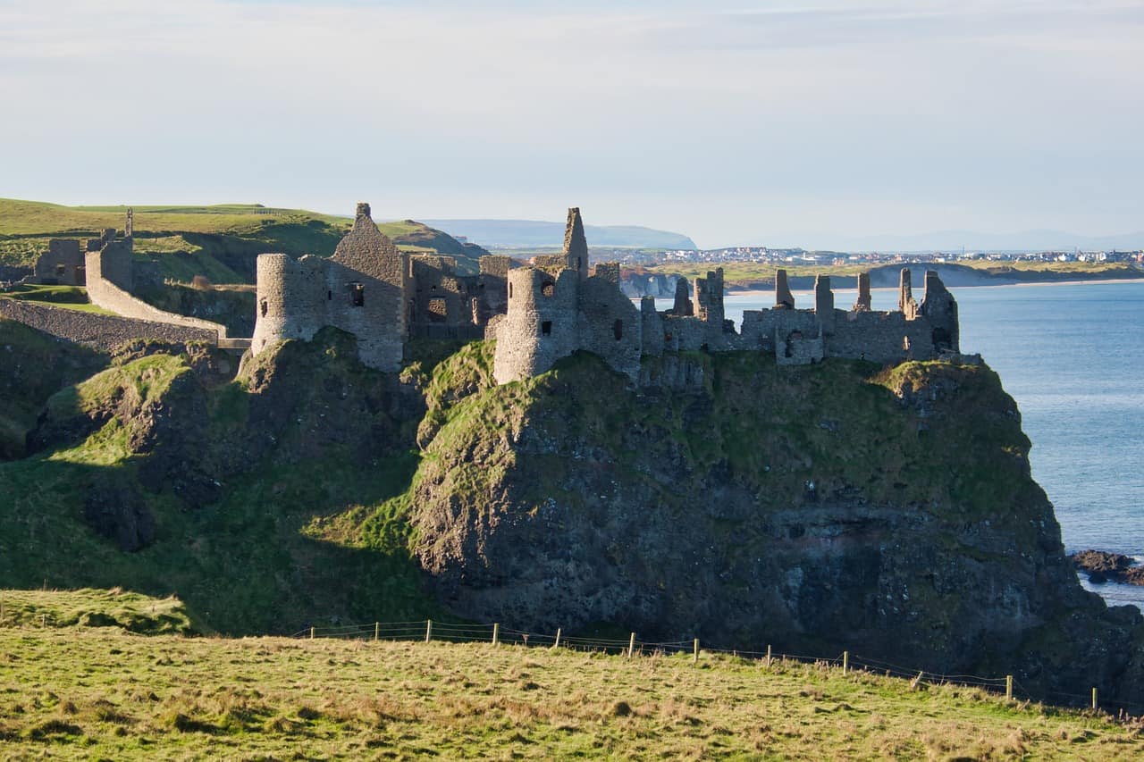
The ruins at Torr Head are what remain of a real, historically significant signal station. It was built in 1822 as a coastguard station, and from 1906 operated under a formal agreement with Lloyd’s of London as a signal station for North Channel shipping - relaying sightings of passing vessels. Before that formal arrangement, sightings were reportedly relayed by semaphore and carrier pigeon from a watch station at Rathlin’s East Lighthouse.
The station took on added significance during the First World War, when the Admiralty retained the right to use it as a War Signal Station. Its history took a sharp turn in 1920: the station and its houses were raided by the IRA for weapons, and the premises were evacuated that September - a real, specific episode in the broader Irish revolutionary period, not just general maritime history.
The Geology
Torr Head isn’t just a viewpoint - it’s a genuinely significant geological site in its own right, designated an Area of Special Scientific Interest as the type locality for a specific unit of Dalradian-age rock, and considered one of the best exposures of metamorphosed limestone of that age anywhere in Northern Ireland.
Visiting
Views from the headland take in the Scottish coast, Rathlin Island, and on a clear day, a genuine sense of how close two countries really are here. Combine with a stop at Ballintoy Harbour along the same stretch of coast if you’re exploring this part of the Causeway Coast in one trip.
There’s a small car park at the headland itself, but the approach road is narrow, single-track in places, and genuinely not for anyone nervous about tight bends and steep drops - drive carefully and be prepared to reverse to a passing place if you meet oncoming traffic.