Spelga Dam, high in the Mourne Mountains of County Down, combines real engineering history with one of Northern Ireland’s best-known optical illusions.
What Is Spelga Dam
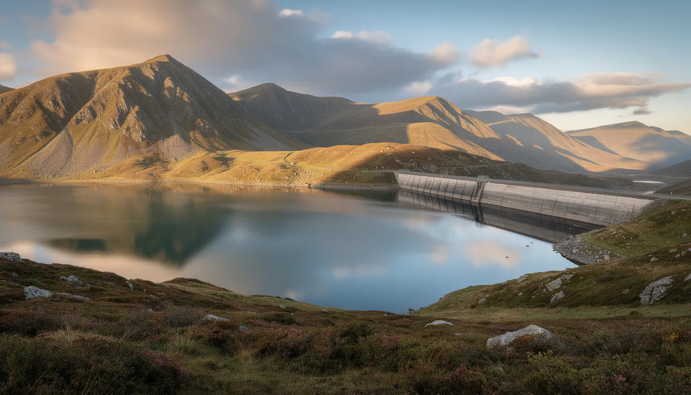
Spelga Dam is a reservoir in Deer’s Meadow, around 10 miles from Newcastle, sitting over 1,200 feet above sea level. It impounds the River Bann, which rises on nearby Slieve Muck, with a catchment area of around 5.4 square kilometres and a capacity of roughly 2.7 million cubic metres - supplying water to the Portadown and Banbridge areas today, alongside its role as a scenic stop on the High Mournes Scenic Loop. The reservoir holds wild pike and trout, though it hasn’t been actively stocked in recent years.
History and Construction
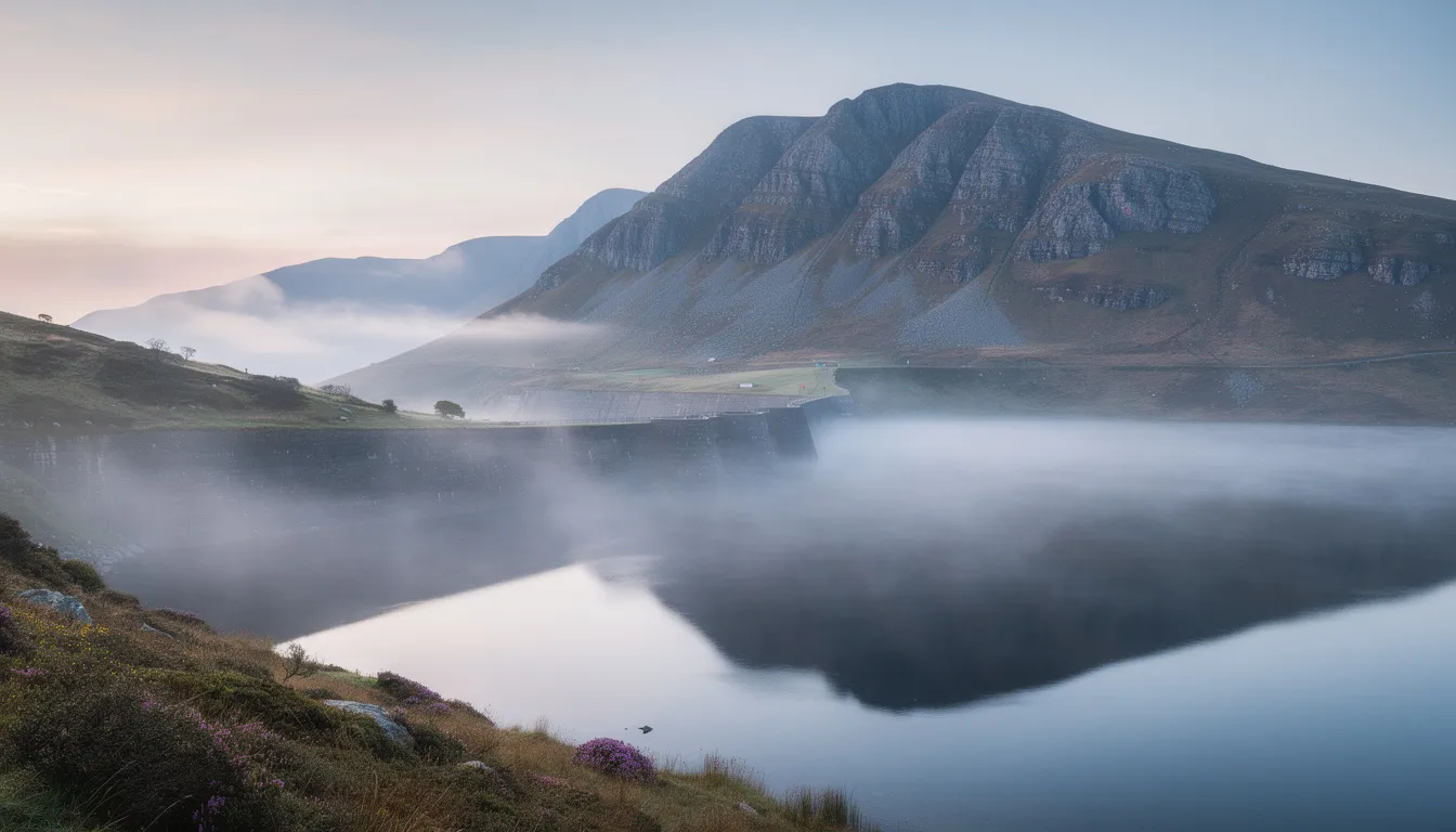
Built between 1953 and 1957, Spelga Dam was designed by the Belfast engineering firm R Ferguson and S McIlveen, with construction carried out by John Laing & Sons - a major contractor listed on the London Stock Exchange the same year work began. The project, discussed in planning circles as far back as 1894, cost around £650,000.
Before construction, Deer’s Meadow was a seasonal settlement where Irish red deer roamed; archaeological work ahead of flooding uncovered booley huts (seasonal herders’ shelters) dating to the 18th century, and flint flakes suggesting use of the site since prehistoric times. Building the reservoir required rerouting the B27, which previously ran through the meadow connecting Hilltown and Kilkeel - sections of this older road, along with an older bridge, are sometimes exposed during droughts when water levels drop significantly.
The Magic Road
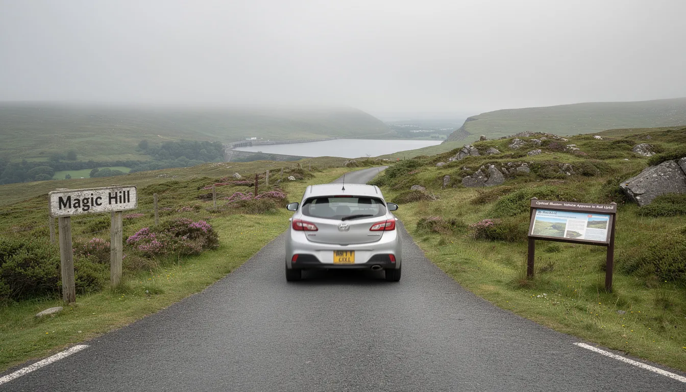
A short stretch of road near the dam is known locally as a “gravity hill” - cars left in neutral appear to roll uphill, an optical illusion created by the surrounding terrain tricking the eye about the true slope. Locally, some attribute it to “fairy magic”; the real explanation is simply the landscape’s effect on visual perception. Only attempt this with other vehicles and pedestrians clear of the road.
Getting There
By car from Newcastle, follow the A2 Mourne coastal route, then Quarter Road and the High Mournes Scenic Loop past Silent Valley Reservoir to reach the main car park on Kilkeel Road (a smaller, south-side car park is also available, with fewer facilities but good views of the dam itself). Public transport options are limited but exist seasonally - check current details with Newcastle’s tourist information centre before relying on them.
Facilities
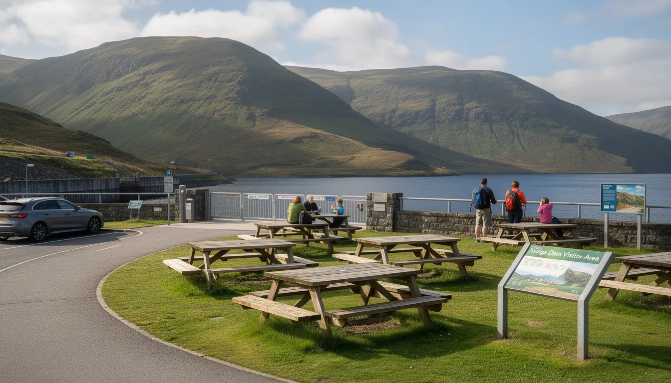
The main (north) car park offers around 35 parking spaces including accessible bays, toilets, picnic tables, and benches; the south car park is smaller with fewer amenities.
Nearby
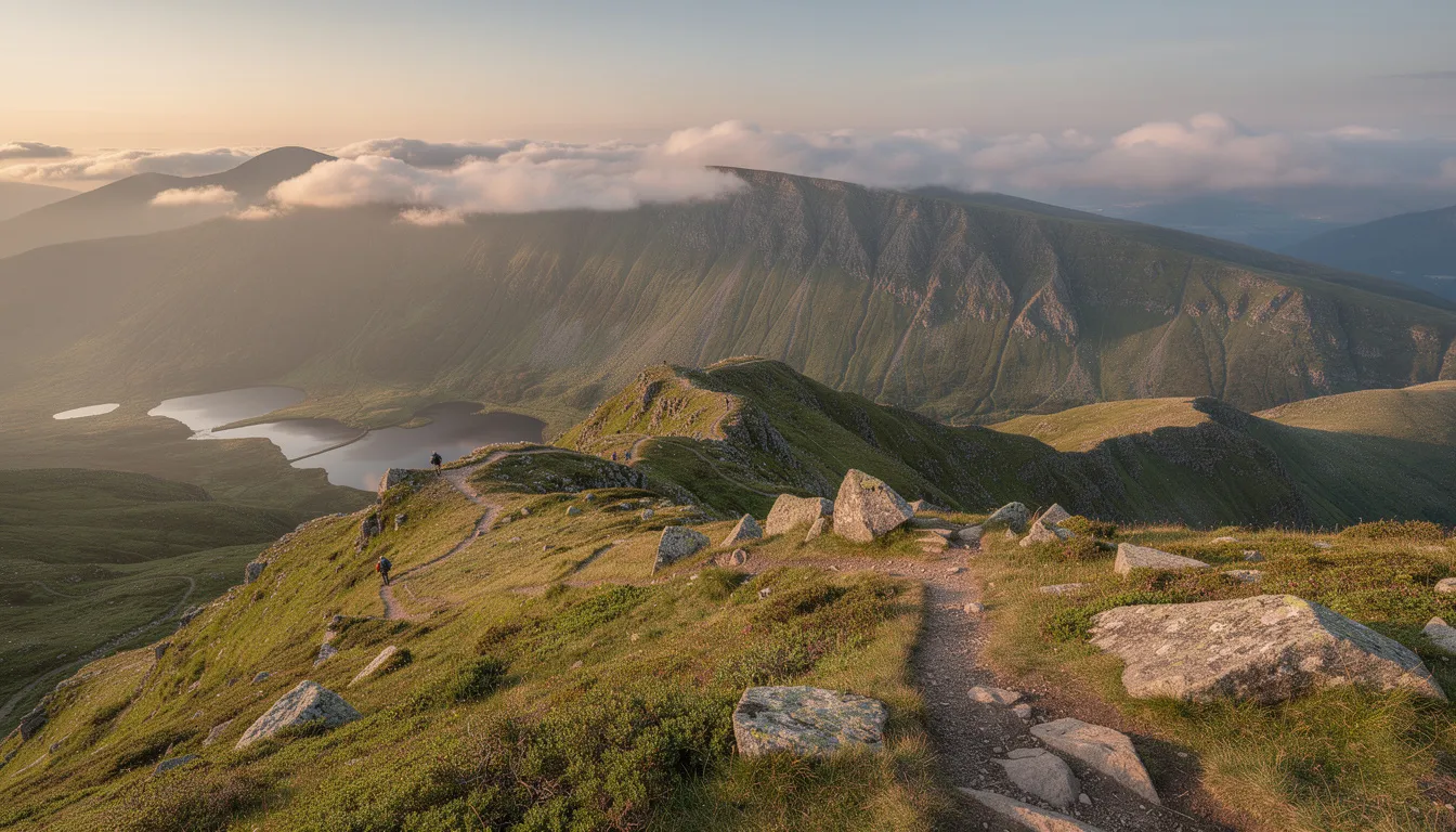
Silent Valley Reservoir, the Goward Dolmen, and Castlewellan Forest Park (home to the Peace Maze) are all within easy reach along the Mourne coastal route - the whole area is also the landscape that inspired Percy French’s well-known song “The Mountains of Mourne.”