Carrauntoohil, at 1,038.6 metres (1,039m rounded), is Ireland’s highest mountain, located in County Kerry as part of the MacGillycuddy’s Reeks range.
Geography and Naming
MacGillycuddy’s Reeks sits entirely within County Kerry, on the Iveragh Peninsula, running about 19km from the Gap of Dunloe in the east to Glencar in the west - Ireland’s highest mountain range, home to every peak on the island over 1,000 metres. The range is composed of sandstone and siltstone dating to the Upper Devonian period.
The name Carrauntoohil derives from “Corrán Tuathail” - “Tuathal’s sickle” - referencing the traditional Irish personal name Tuathal.
Preparing for the Hike
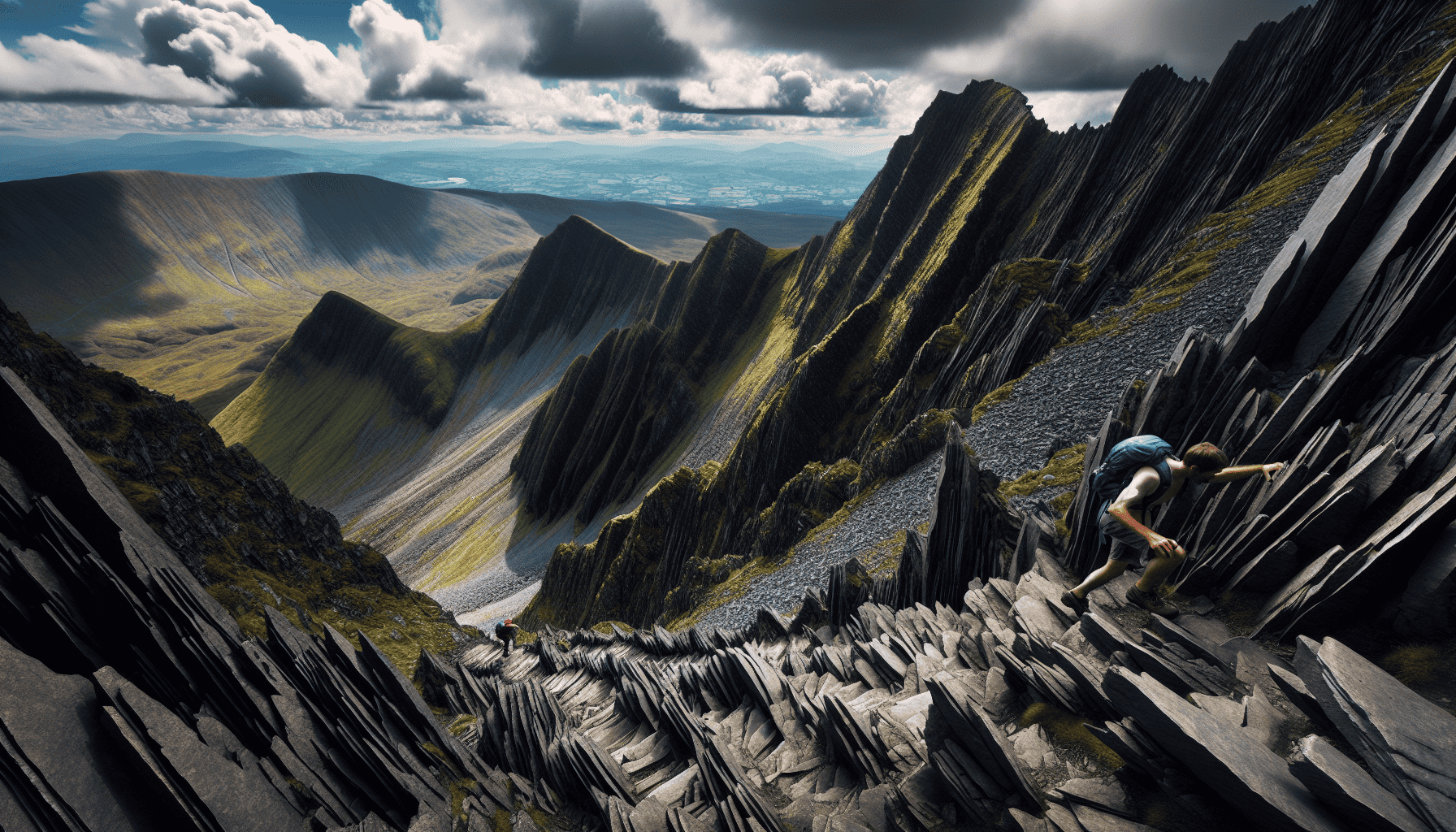
Weather near Carrauntoohil’s summit can shift rapidly given its altitude and Atlantic proximity - clear skies to fog, wind, and rain within minutes. Essential kit: durable boots, waterproof clothing, extra layers, a map and compass, and basic safety equipment (whistle, first aid kit).
Trail Options
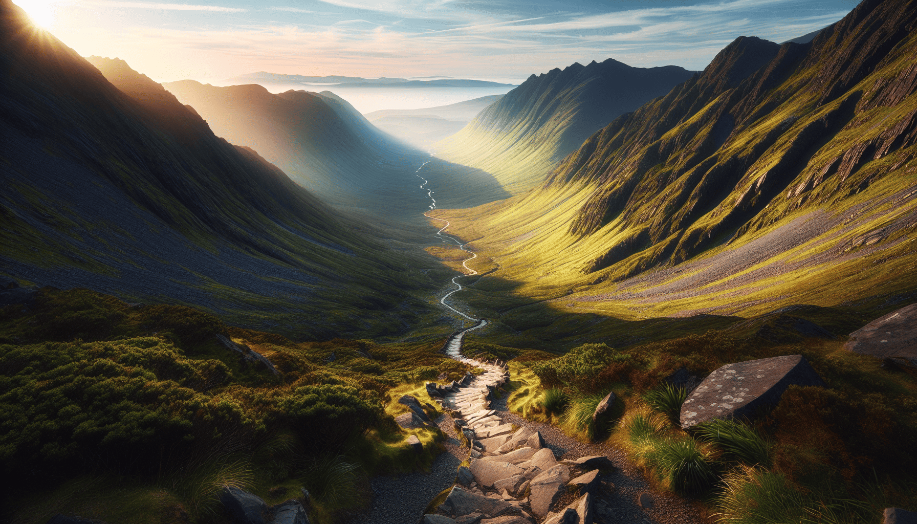
The Devil’s Ladder is the most popular, direct route to the summit. Brother O’Shea’s Gully offers a moderate-to-strenuous alternative with some scrambling. The Coomloughra Horseshoe is the most demanding option, taking in Ireland’s three highest peaks in one route - steep, exposed, and requiring a high level of fitness.
The standard route from Cronin’s Yard covers 11.4km out-and-back, in three stages: a gradual initial climb through grassy slopes, the steep, scrambling ascent of the Devil’s Ladder itself, and a rocky, exposed final push to the summit. At the top: panoramic views across Kerry, a wind shelter and summit cross, and - conditions permitting - a swim in Ireland’s highest lake.
Descending, retrace your ascent route to avoid dangerous ground to the north, northeast, east, or southeast of the summit. The Devil’s Ladder is the recommended descent for safety; the more scenic Heavenly Gates route, past a waterfall, demands extra caution around stream crossings not used on the way up.
Ireland’s Other High Peaks
Lugnaquilla (925m), in the Wicklow Mountains, is Ireland’s highest peak outside County Kerry. Brandon Mountain (952m), also in Kerry, is a noted Christian pilgrimage site. Other well-known climbs include Cnoc na Péiste, Galtymore, Slieve Donard (Northern Ireland’s highest, in the Mournes), and Mweelrea.
Nearby: Killarney
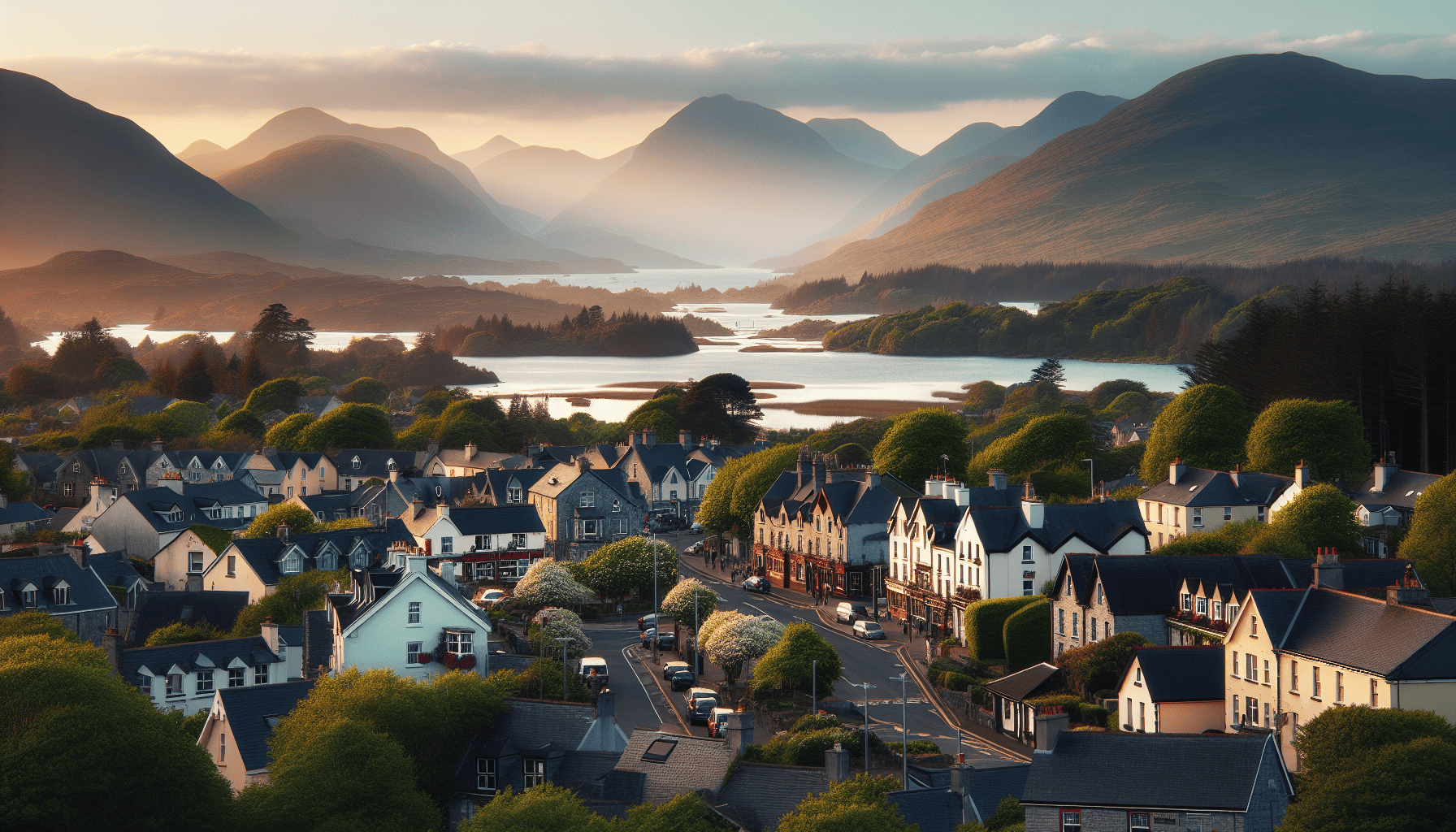
Killarney, the nearest major town, offers accommodation ranging from luxury hotels to traditional B&Bs, alongside Killarney National Park, Muckross House, Ross Castle, Ladies View, and Torc Waterfall - plus the Gap of Dunloe and Caragh Lake nearby.
Frequently Asked Questions
What are the 3 highest mountains in Ireland? Carrauntoohil (1,038.6m), Beenkeragh (1,010m), and Caher (1,001m) - together forming the “3 Peaks of Ireland Challenge.”
Is Ben Nevis harder than Carrauntoohil? Generally considered so, given its terrain.
Is Errigal the highest mountain in Ireland? No - Mount Errigal, in Donegal, is a well-known peak but not Ireland’s highest.
How difficult is it to hike Carrauntoohil? A genuinely challenging hike due to altitude and fast- changing weather - thorough preparation, a weather check, proper gear, and safety equipment are all essential.