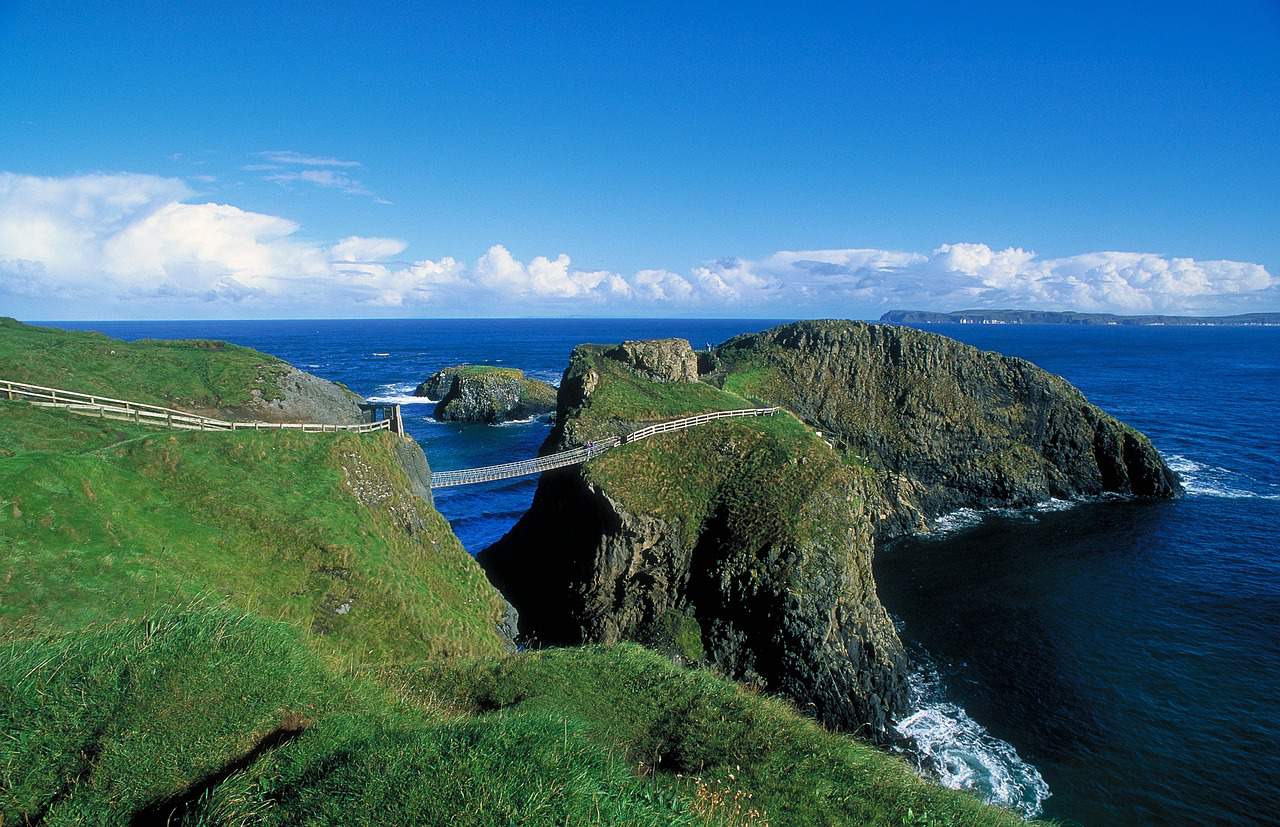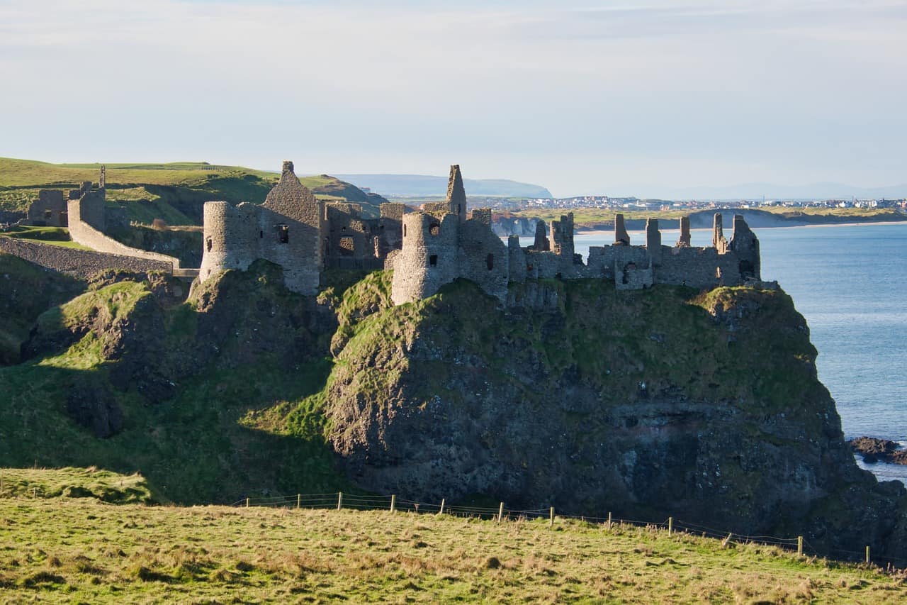
Slieve Croob, in County Down, stands at 1,752 feet (534m), the highest point of the Dromara Hills, with genuinely panoramic views over the surrounding countryside.
Name and History
Slieve Croob’s name comes from the Irish Sliabh Crúibe - most commonly translated “mountain of the hoof,” though an alternative reading ties it to a Brittonic word for “hump” or “lump,” which some find a better topographical fit. One correction worth making plainly: this page previously claimed the name meant “The Hill of Crom’s Head,” tied to a legend of Saint Patrick beheading a giant here - that legend is real, but belongs to Croagh Patrick in County Mayo (“Crom Dubh Sunday” is a genuine, well-documented tradition there), not to Slieve Croob.
Local folklore does hold that Slieve Croob was a druidic meeting place, and the mountain appears in real Irish mythological tales - including “The Wooing of Étaín” and the Táin Bó Cúailnge, where it’s associated with conflict between Queen Medb’s forces and Cú Chulainn.
The Summit Cairn
A Bronze Age cairn, over 50 feet in diameter, sits at the summit, surrounded by twelve smaller cairns - the basis for the Twelve Cairns Walk, an approximately 8-mile, 4-5 hour route requiring moderate fitness.
Hiking Routes
Summit Trail - a 4-mile round trip, 2-3 hours, from the Dree Hill picnic area through heather and bracken to the summit, with views taking in the Mourne Mountains, the Irish Sea, and - on clear days - the Isle of Man and Scotland.
Glen River Valley Loop - 6 miles, 3-4 hours, starting at Tollymore Forest Park through wooded glens and mountain streams.
Ballynahinch River Walk - 3.5 miles, around 2 hours, a gentler route following the River Bann from Ballynahinch.
Wildlife
Heather, bracken, gorse, and bilberry cover the mountain; foxes, badgers, rabbits, and hares live here, alongside skylarks, meadow pipits, and stonechats - with occasional peregrine falcon and red kite sightings (the latter reintroduced to Northern Ireland after local extinction).
Nearby
The Legananny Dolmen, a Neolithic portal tomb over 5,000 years old, and the Dree Hill Standing Stone, a Bronze Age monolith, are both close by. Dromara, Ballynahinch, and Castlewellan offer accommodation, food, and access to Tollymore Forest Park and the Murlough Nature Reserve.
Practical Notes
Access is easiest by car, with parking at the Dree Hill picnic area; public transport is limited (nearest train station: Downpatrick, about 12 miles away). Bring proper hiking boots, layers, and a map - weather on the mountain changes quickly, and winter conditions can include snow and ice.